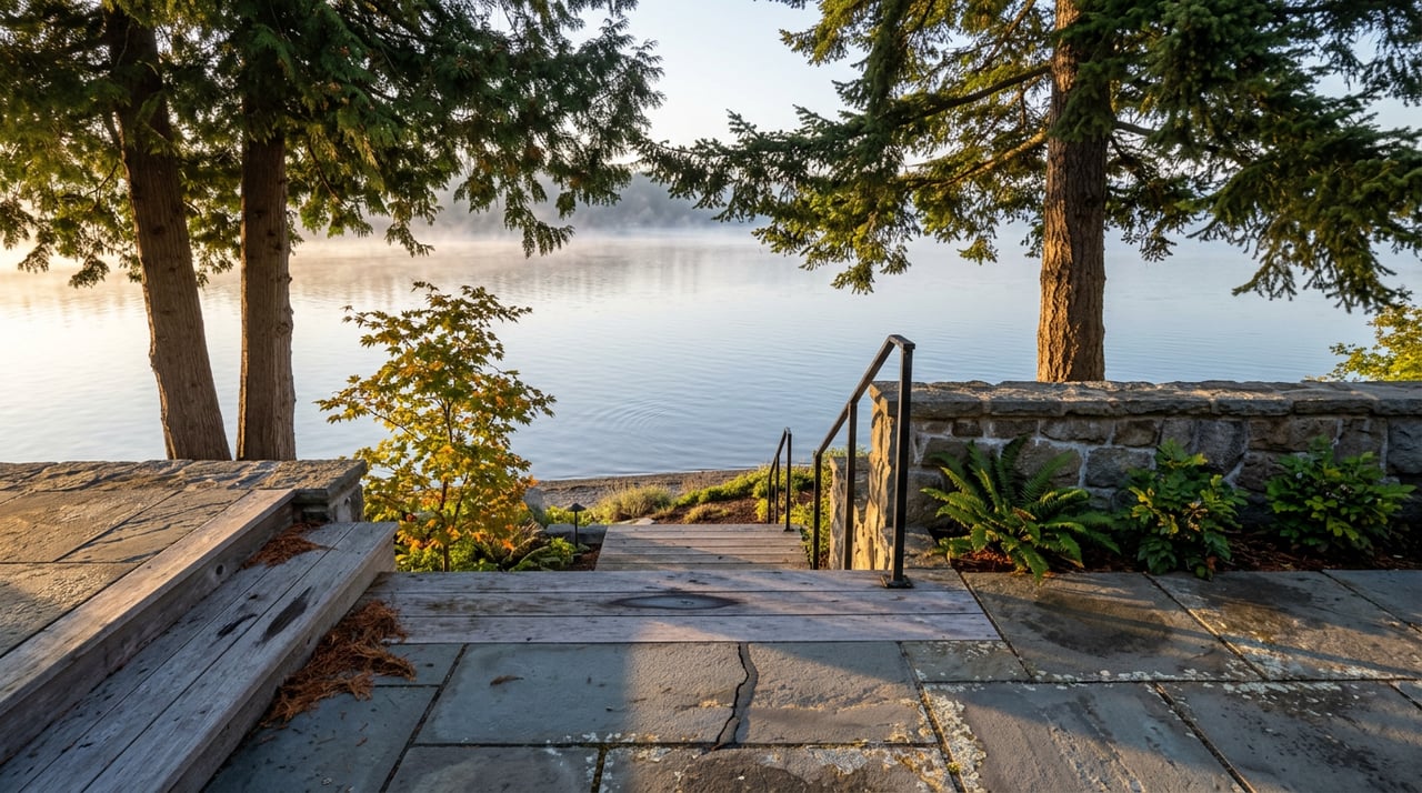
If you walked down to City Beach this week, the lake looked exactly like it did in August. Same blue, same depth off the swim dock, same eight inches of freeboard on your neighbor's floating dock. That's not a delay. It's the schedule working exactly as designed.
Six days ago, on September 8, Avista crossed the one date on the calendar that quietly governs how full or empty Lake Coeur d'Alene gets to be for the rest of the year: the Tuesday after Labor Day. That date is the legal trigger for the utility's annual drawdown, and the fact that nothing looks different yet from the shoreline is exactly what this point in the schedule calls for.
The One Date That Runs the Whole Lake
Lake Coeur d'Alene isn't really managed for most of the year. From late spring runoff through early September, Avista is required, under the federal license that lets the company operate the Post Falls hydroelectric project, to hold the lake at or within a few inches of 2,128 feet, the contractual summer pool elevation. The company can't push it higher no matter how much rain falls that season, and the tolerance on the low end is thin too. If the lake drops more than three inches below summer level, Avista has to cut river releases from 600 cubic feet per second down to 500 to protect what's left. That's the tightest operating window the lake sees all year.
Then the calendar flips. The Tuesday after Labor Day is the date Avista is authorized to start drawing water back out, both to generate power and to open storage room in the lake ahead of fall rain. Checked against Avista's own public water flow page, the lake sat at 2,127.32 feet on September 4, about eight inches under the summer max, just before that trigger date arrived. The plan from here calls for a few more inches to come off by the end of the month, landing the lake around a foot below full pool by October 1. A foot spread across a lake this size is the part nobody notices from a lawn chair.
Why the First Two Weeks Feel Like Nothing
The real work happens after that first foot. Once September ends, the pace changes. The lake comes down roughly another 1.5 feet every month through the fall and into winter, aiming for a level around 7.5 feet under summer pool by the end of January, according to Kootenai County's own water level guidance for residents. That's the number that actually reshapes the shoreline, and it lands in October and November, not this week.
For a sense of where that eventually goes, the lake sat at 2,122.19 feet on December 15, 2024, about 5 feet 10 inches below its summer high, with Avista confirming that reading marked the point where the drawdown had essentially finished for the season. That's the neighborhood this year's schedule is aiming back toward, even though the exact number shifts with weather each winter.
| Point in the cycle | Approximate elevation | What it looks like on shore |
|---|---|---|
| Summer pool, spring through early Sept | 2,128 ft | Full lake, docks floating high, no exposed mud |
| Early drawdown, late September | ~2,127 ft | Barely visible, maybe an inch or two of new shoreline |
| Mid drawdown, October through November | Falling ~1.5 ft per month | Docks need adjusting, mudflats appear in shallow bays |
| Winter target, January | ~2,120.5 ft | Roughly 7.5 ft below summer pool, natural winter behavior |
A Thirteen-Foot Lake Most People Only See at One Setting
Most residents picture the lake at exactly one elevation: full. But the range Avista manages it within is bigger than that picture suggests. At the high end, the National Weather Service's own flood gauge page for the lake puts the threshold at 2,134.75 feet, the level at which the Coeur d'Alene Resort's Boardwalk, the Independence Point docks, and the 3rd Street boat launch and parking lot start taking on water. At the low end, using that December 2024 reading as a real example, the lake can sit near 2,122 feet. That's close to a thirteen-foot working range on a body of water most people experience as one flat, permanent line outside a window.
Post Falls Dam, the structure that makes all of this possible, isn't actually one dam. It's three separate structures nine miles downstream of the lake's natural outlet: two spillways and a powerhouse where six turbines have been generating electricity since 1906, according to the University of Idaho's own explainer on lake level management. Whatever happens at those gates each September and January decides whether your dock ladder reaches the water or hangs two feet above it by Thanksgiving.
Where the Change Shows Up First
Because the whole lake rises and falls together, every dock and every launch eventually feels the drawdown. Not at the same time, though. Shallow, gently sloped shoreline, the kind you find around City Beach and the flatter stretches near Tubbs Hill, exposes new sand fastest, since a small drop in elevation uncovers a wide strip of bottom there. Steeper, rockier shoreline barely changes shape for the same foot of drop.
Boat launches follow a version of the same pattern. The city's 3rd Street ramp downtown, with its concrete apron near the Resort and Tubbs Hill, tends to stay usable well into the drawdown. Farther out, Kootenai County's Mica Bay launch on the west shore, the Mineral Ridge ramp out in Wolf Lodge Bay, and the county launch down at Harrison on the lake's south end are worth checking again once the drawdown clears that first foot, especially for anyone trailering a boat with lower clearance.
What Locals Actually Do About It
This stretch of the calendar is also when the University of Idaho's Bay Watchers field team, part of the Our Gem Collaborative that studies the lake's health, pulls its own research boat for the season, on roughly the same week most private dock owners start thinking about lifts, ladders, and mooring lines rather than swim rafts. If your dock float sits close to the bottom in a shallow cove, this is the window to check its slack before the steeper 1.5-foot-a-month pace takes over in October. If you launch from anywhere other than the deep-water ramps downtown, a call to Kootenai County Parks and Waterways before a weekend trip beats finding out at the ramp.
None of this happens by accident, and none of it happens overnight. The lake outside your window looks like August because the schedule says it should, for a few more weeks yet. Plan around the calendar, not the current view, and the rest of the fall on the water goes a lot smoother.
Idaho Legacy Property keeps an eye on Avista's water flow notices about as closely as we keep an eye on listings, because on this lake the two calendars run closer together than most people expect. If you're ever curious what a property along this shoreline looks like once the water settles into its winter line, or you just want to talk through what daily life near Tubbs Hill or Wolf Lodge Bay actually feels like across a full year, reach out any time.