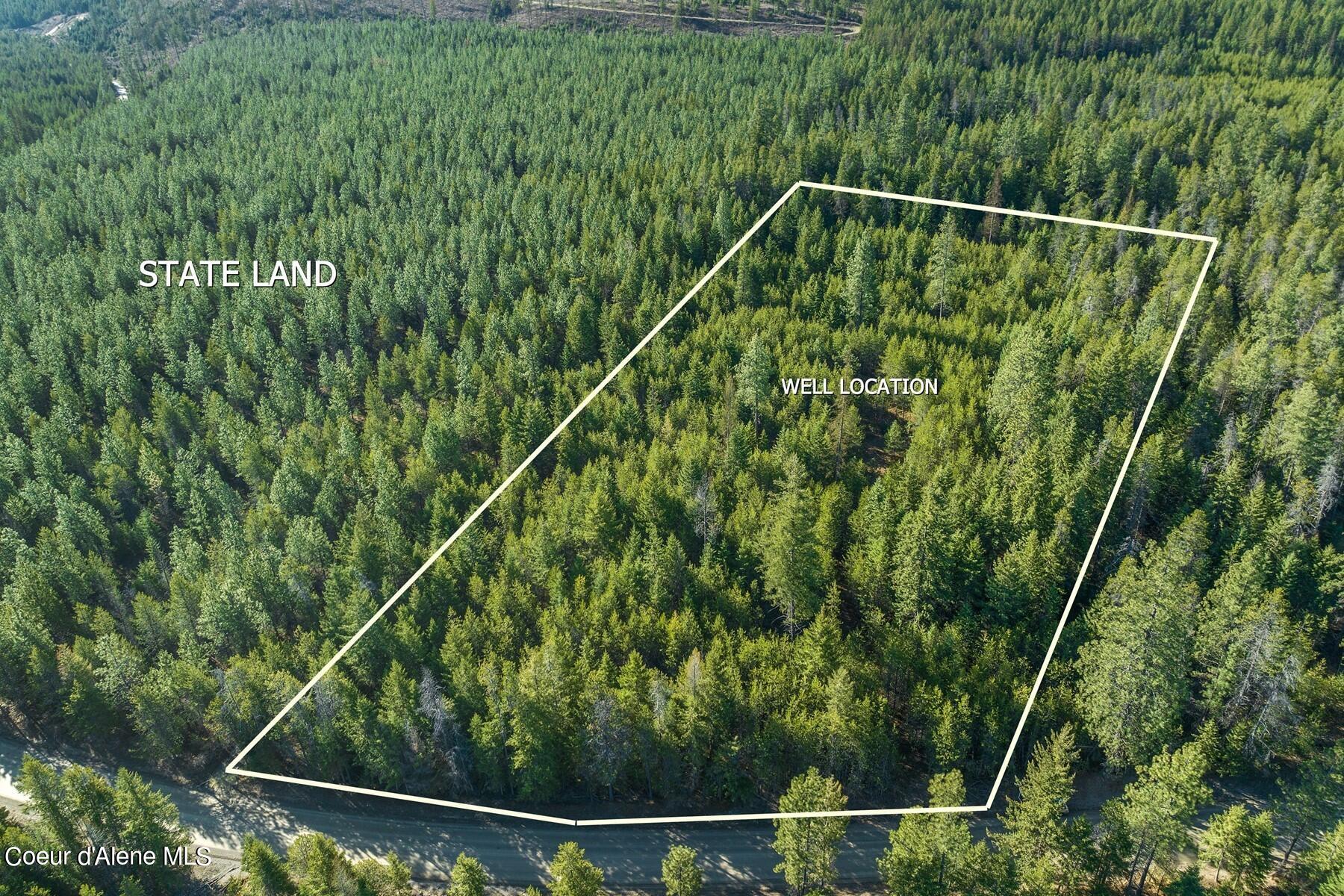
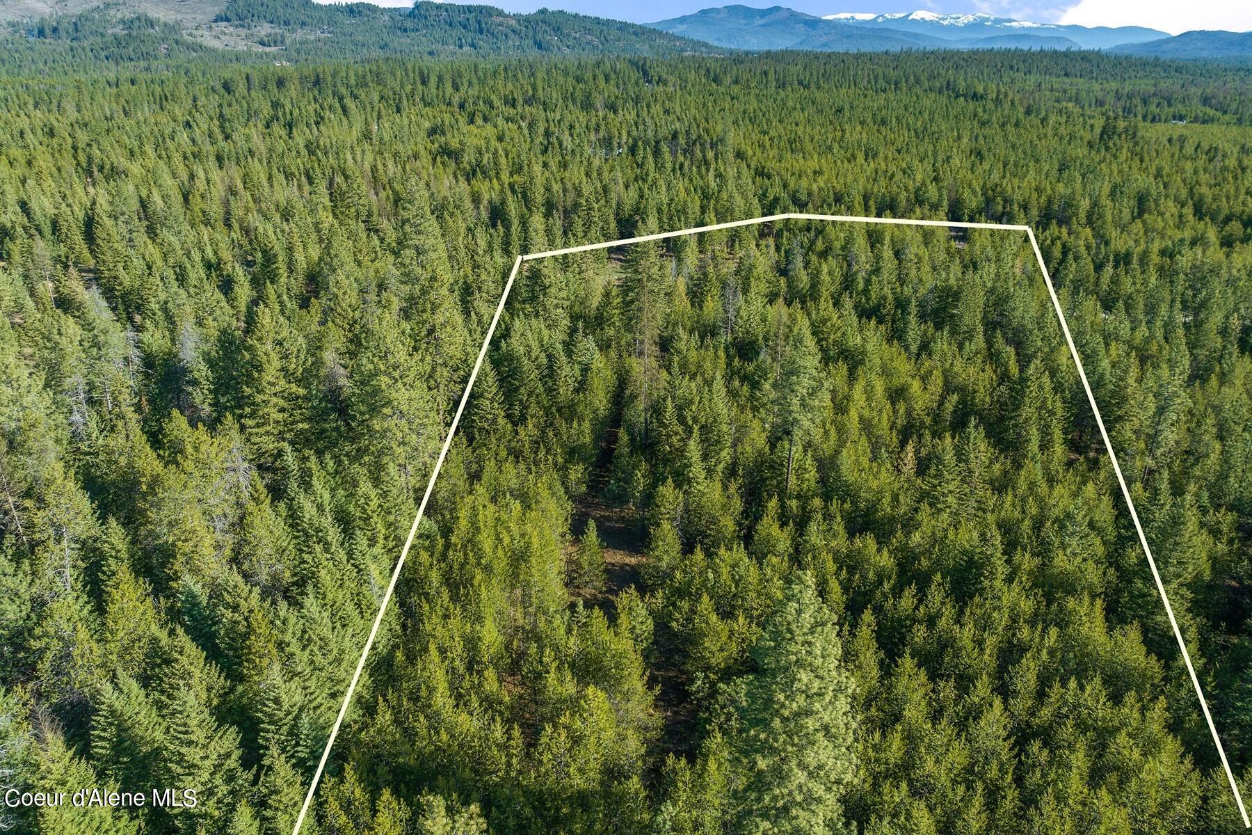
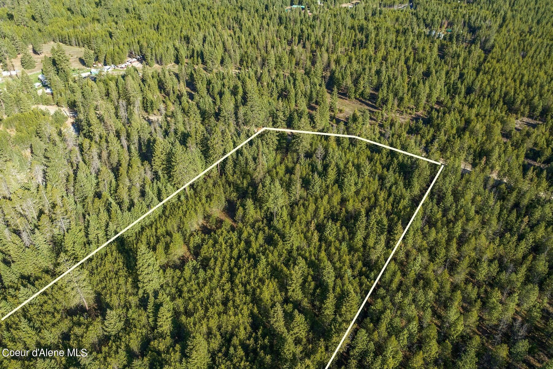
Aerial view of wooded parcel outlined beside a road; well location and state land marked.
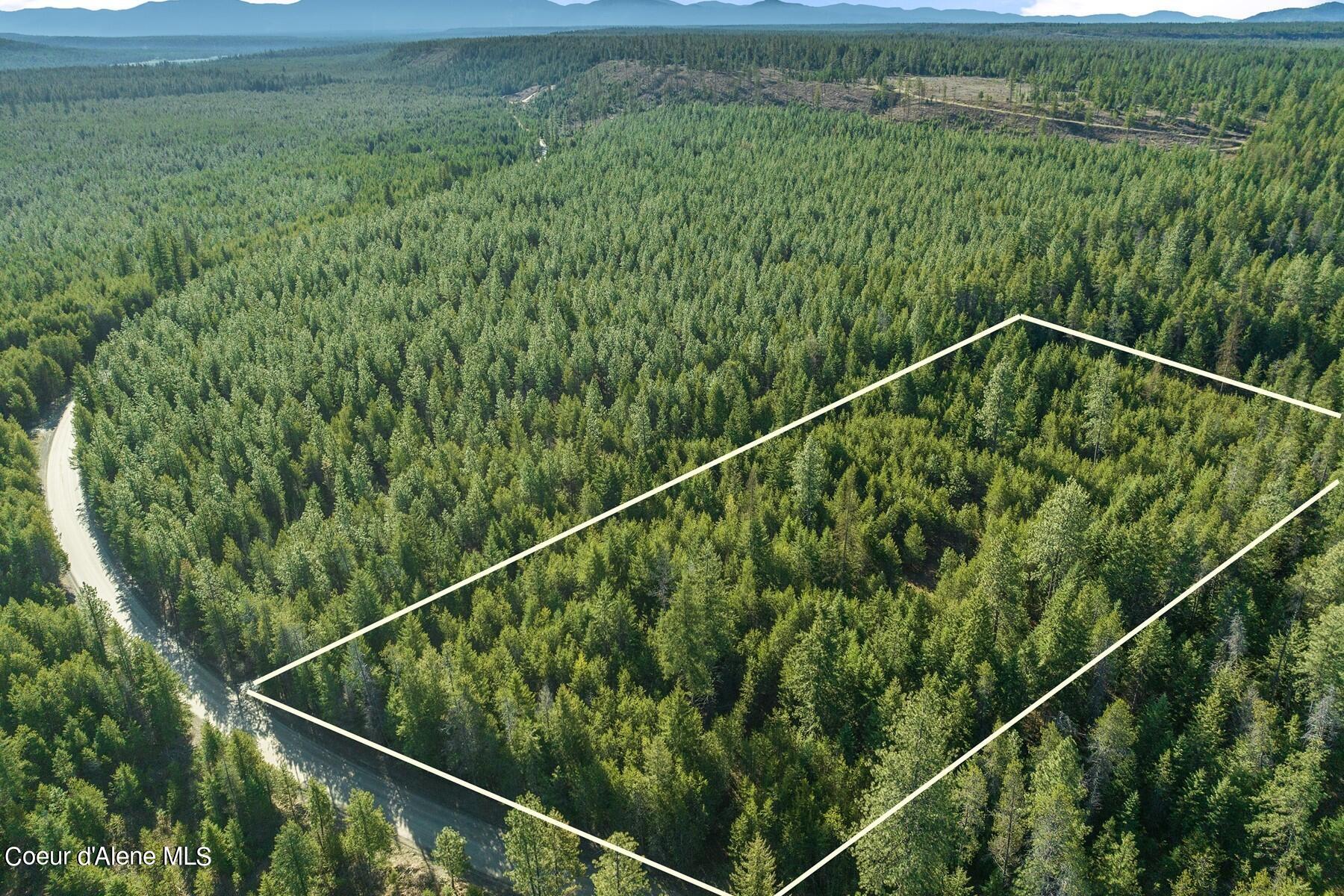
Aerial view of wooded vacant land outlined beside a rural road, with distant mountains.
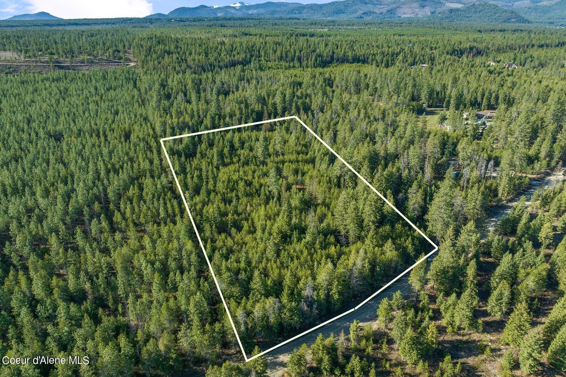
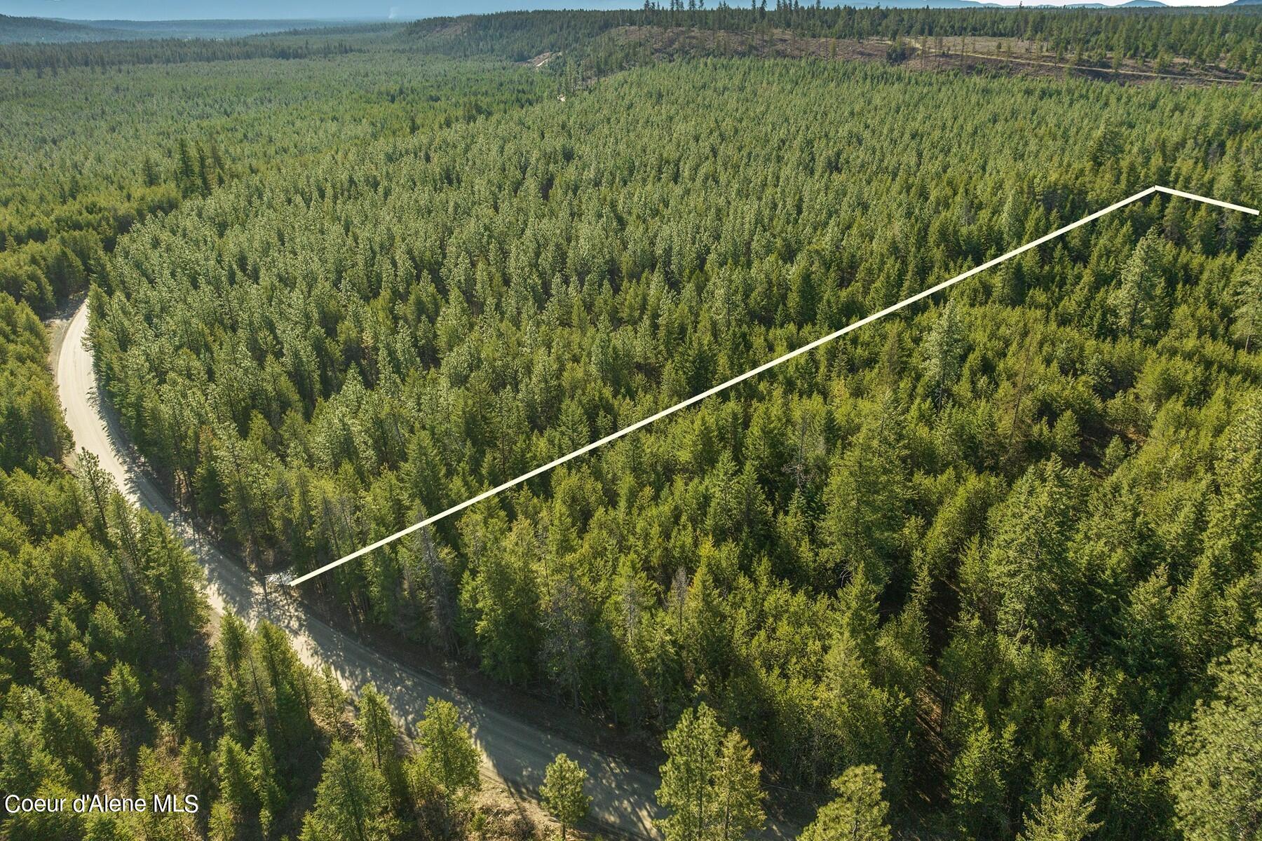
Aerial view of a forested parcel outlined beside a rural road, with distant mountains beyond.
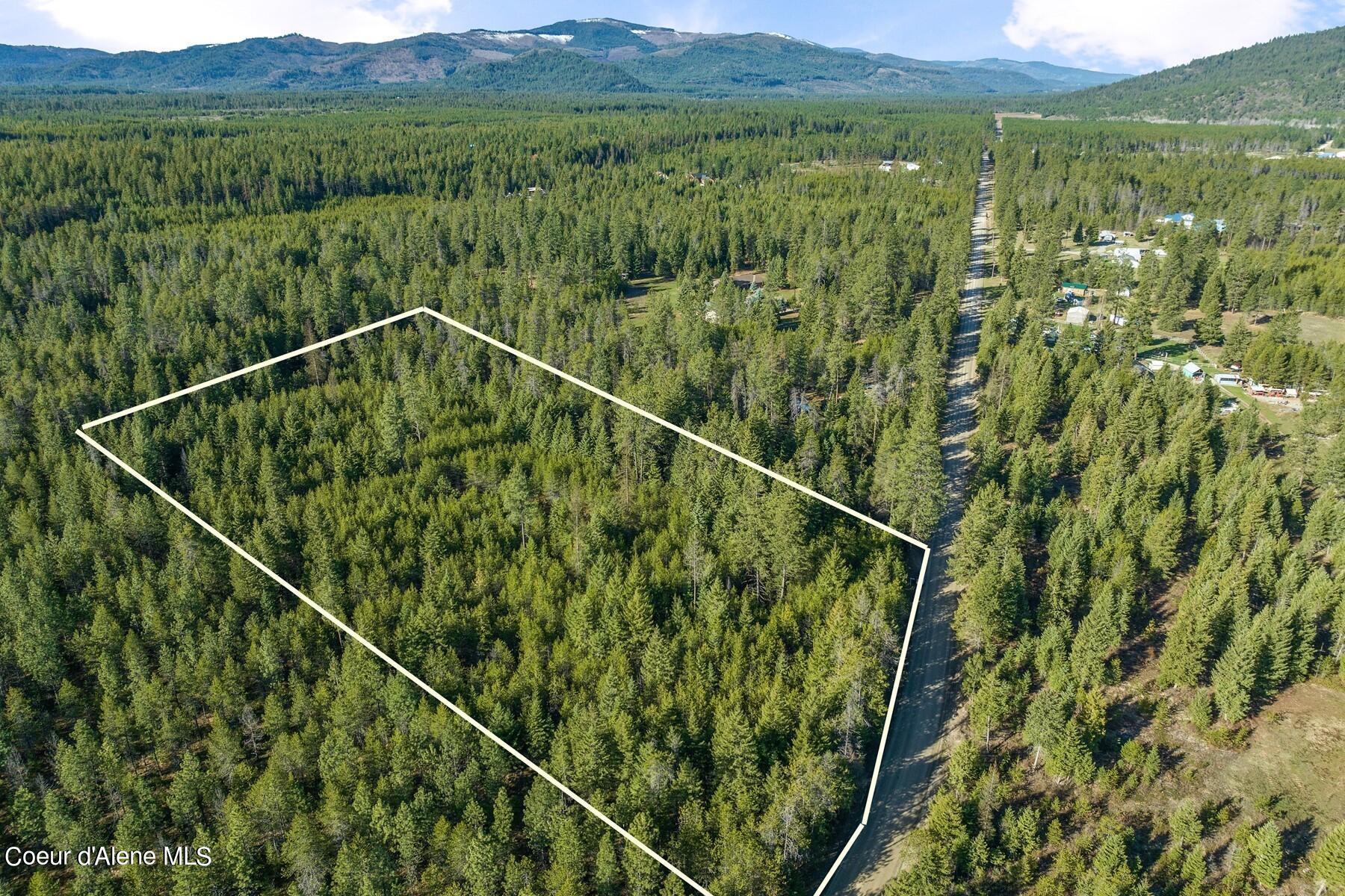
Aerial view of a forested parcel outlined beside a road, with mountain ridges in the distance.
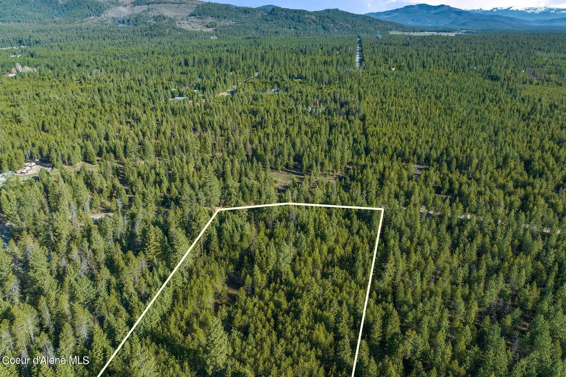
Aerial view of a forested parcel outlined in white, with mountains in the distance.
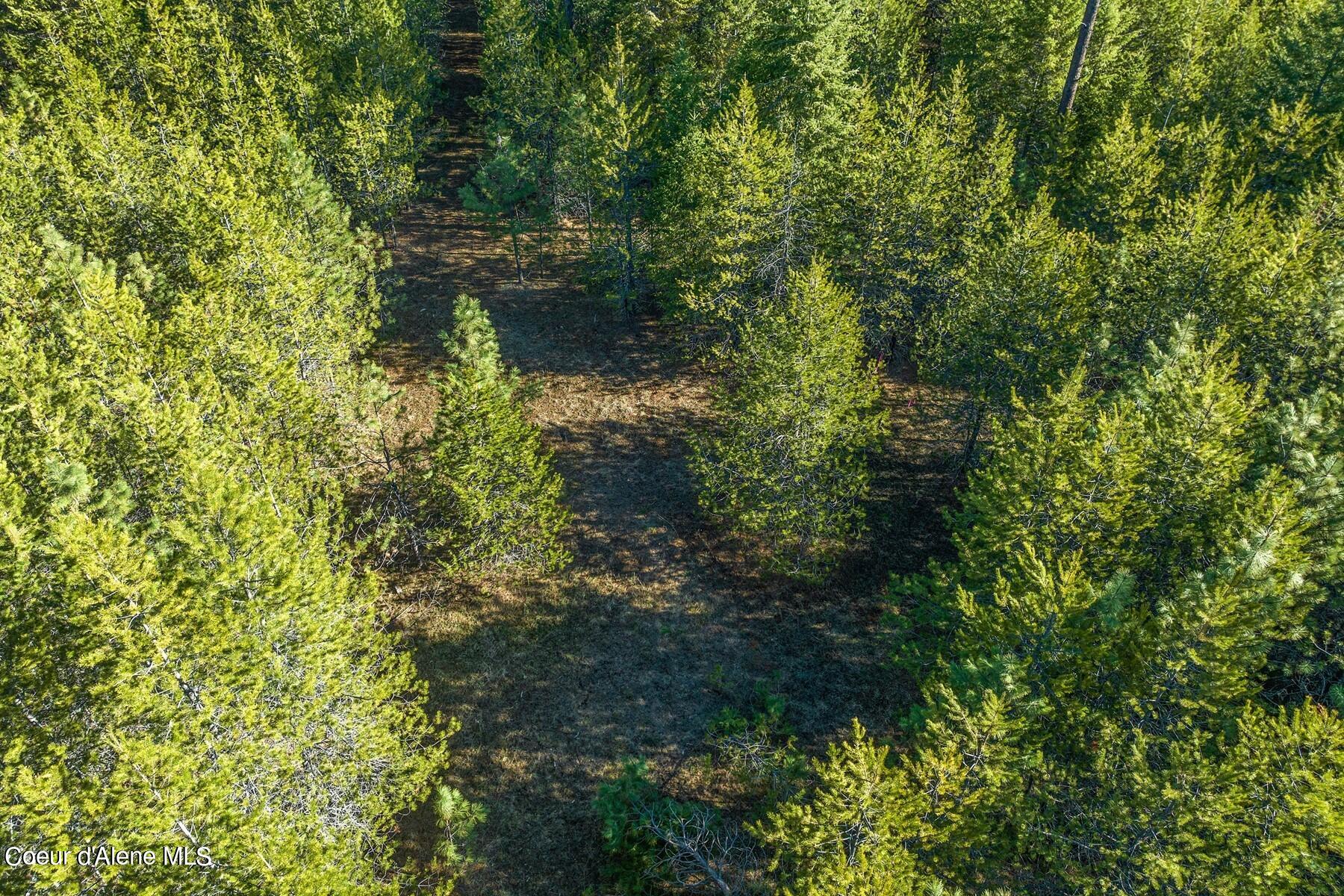
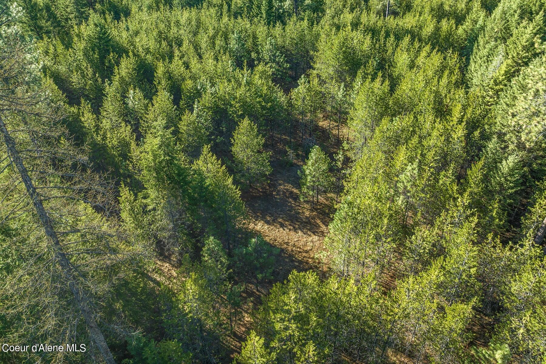
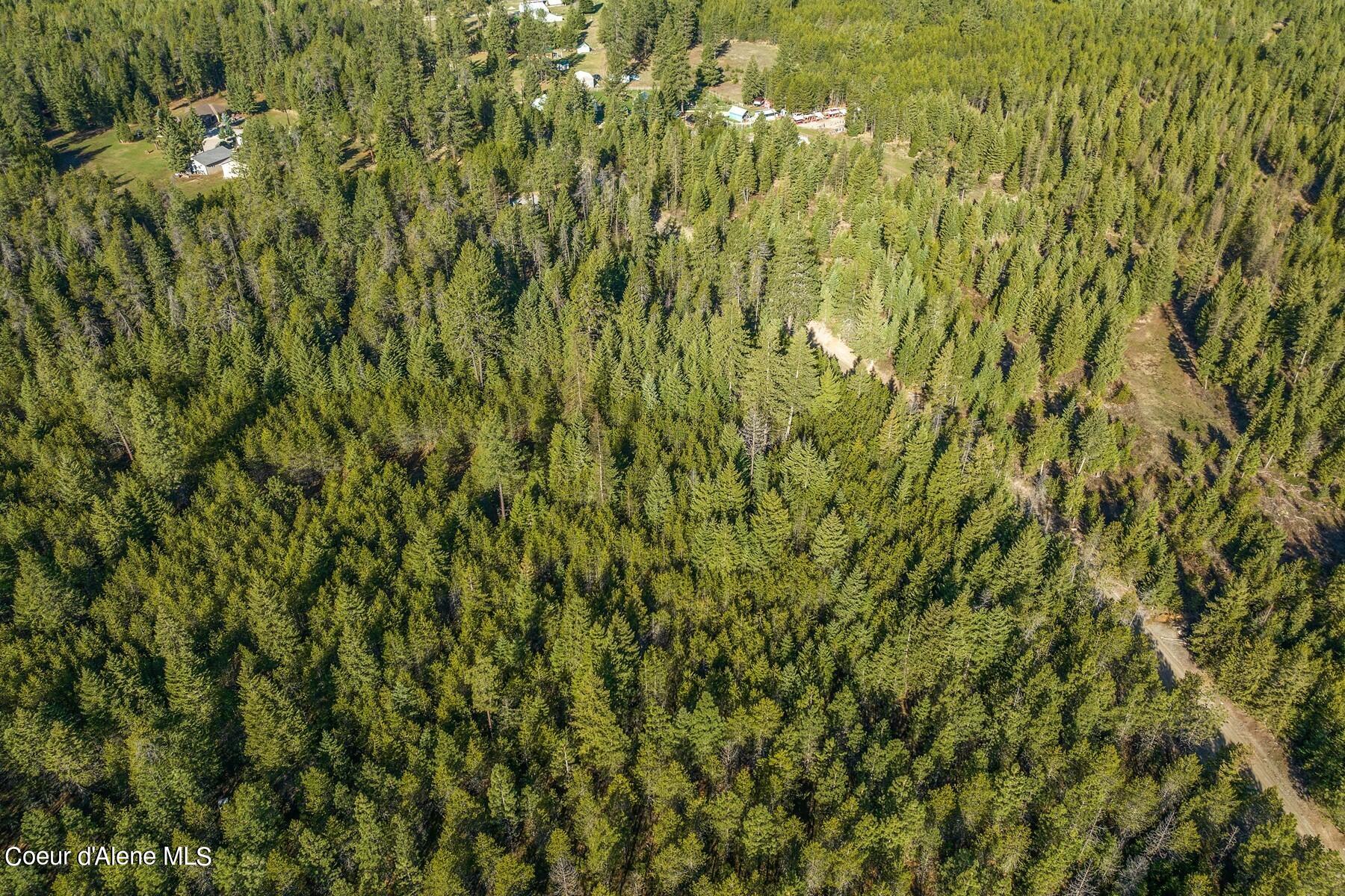
Aerial view of a wooded parcel with a long clearing through dense pine trees.
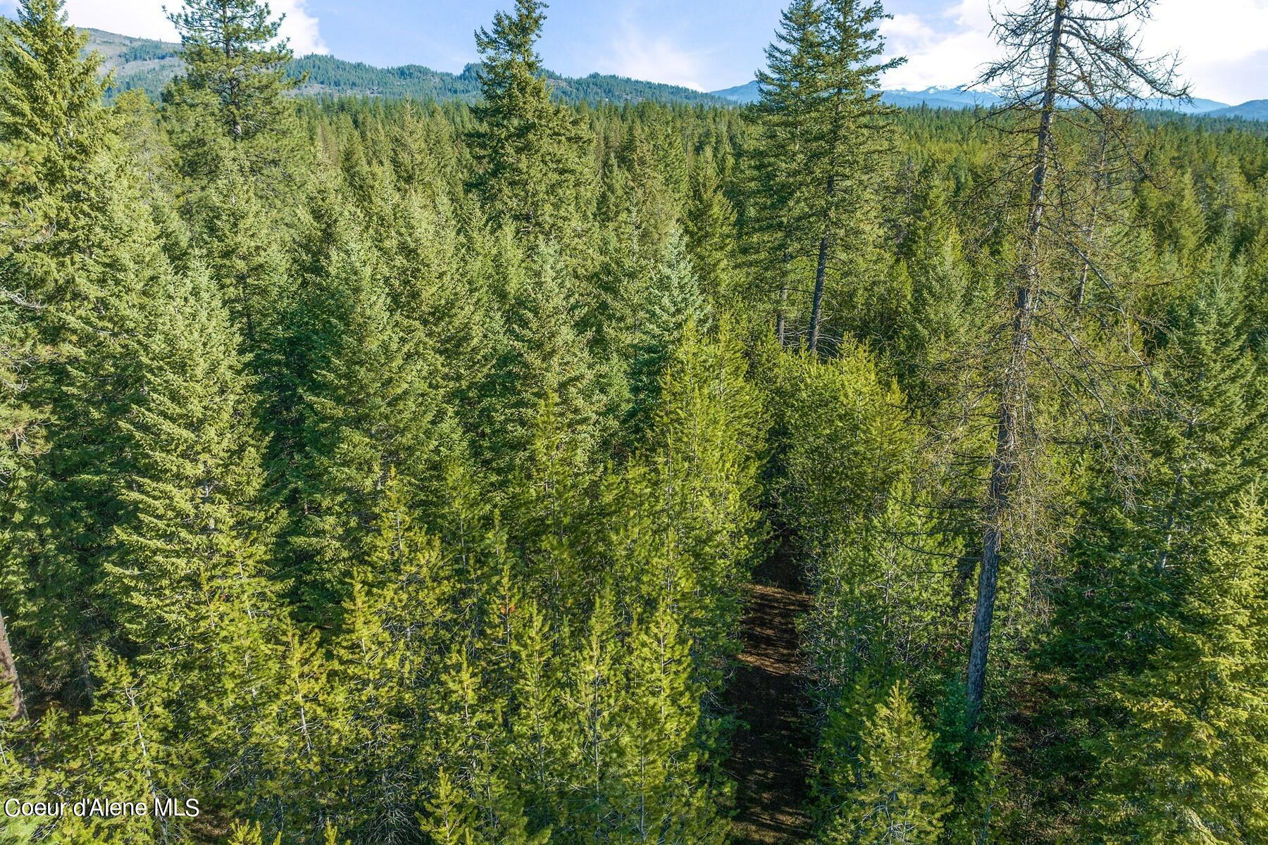
Aerial view of dense evergreen woodland with a narrow track and distant mountains.
Aerial view of densely wooded land with a narrow clearing through the pines.
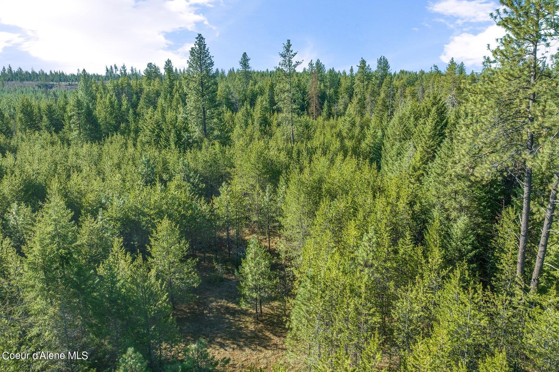
Aerial view of a densely wooded parcel with a small clearing.
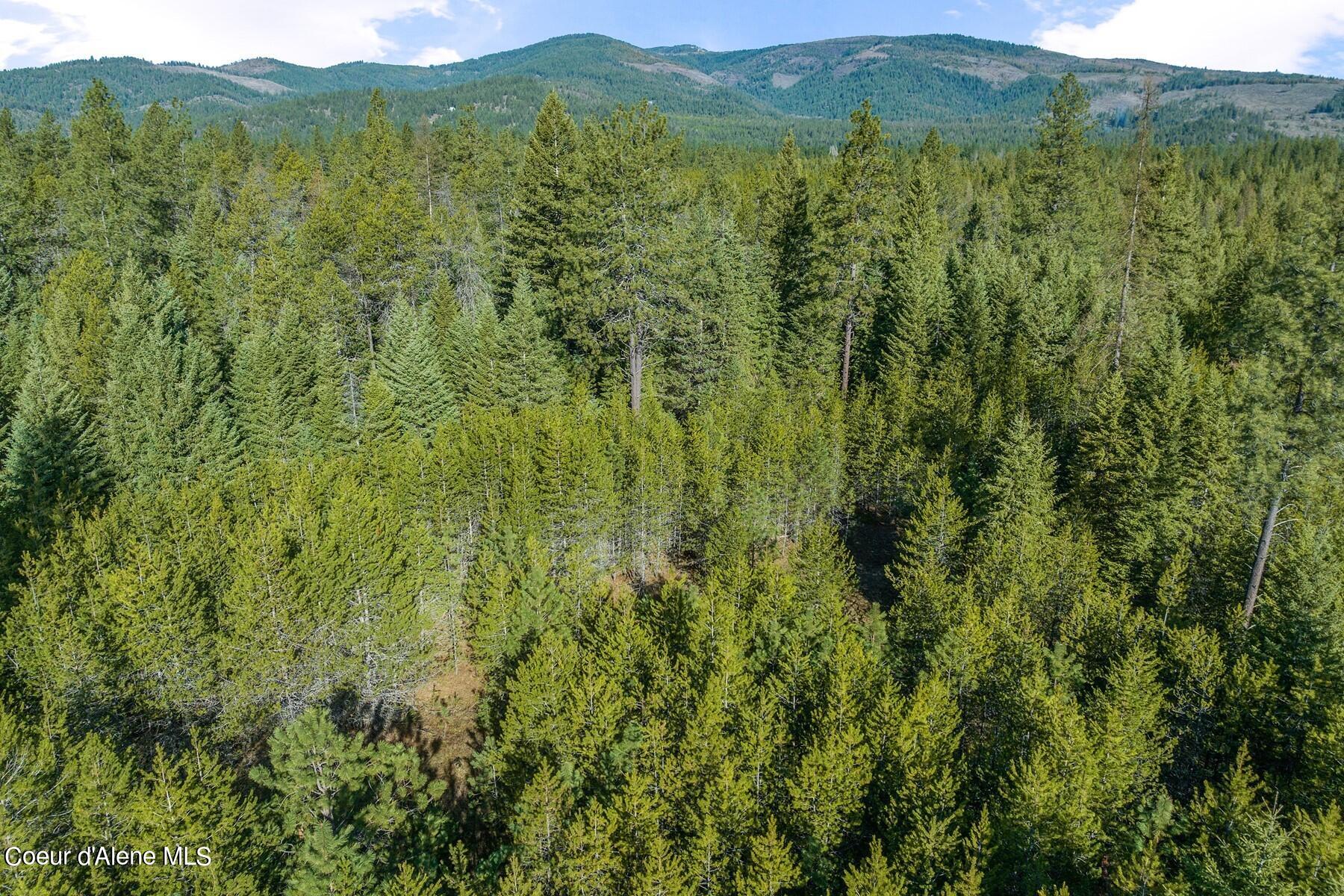
Aerial view of forested land with evergreen trees and wooded mountains in the distance.
Aerial view of a forested parcel outlined in white, with distant mountains beyond.
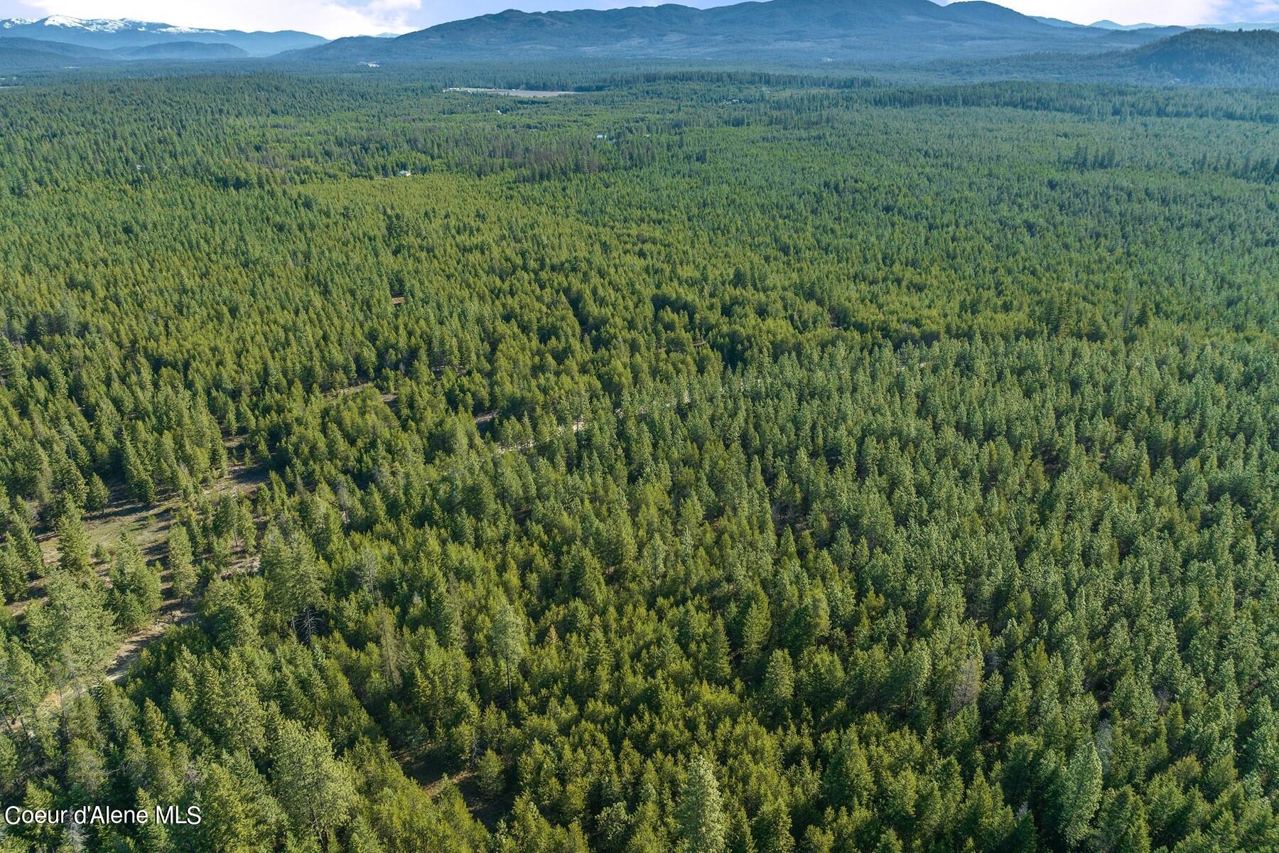
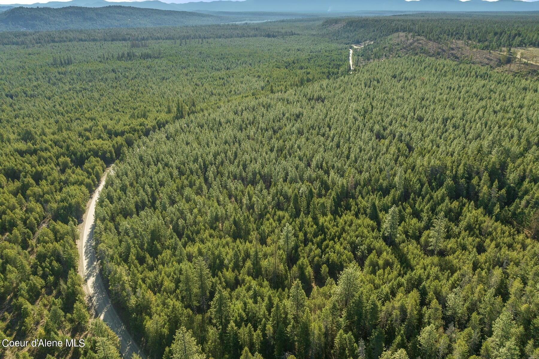
Aerial view of a vast evergreen forest with mountain ridges in the distance.
Aerial view of a forested parcel outlined in white, with nearby rural properties.
Aerial view of dense forest with a dirt road and clearings near scattered buildings.
Aerial view of a forested parcel outlined by a boundary line, with a dirt road along its edge.
Aerial view of forested land with winding gravel roads and distant mountain ridges.
SEE ALL PHOTOS
Aerial view of wooded parcel outlined beside a road; well location and state land marked.
Aerial view of wooded vacant land outlined beside a rural road, with distant mountains.
Aerial view of a forested parcel outlined beside a rural road, with distant mountains beyond.
Aerial view of a forested parcel outlined beside a road, with mountain ridges in the distance.
Aerial view of a forested parcel outlined in white, with mountains in the distance.
Aerial view of a wooded parcel with a long clearing through dense pine trees.
Aerial view of dense evergreen woodland with a narrow track and distant mountains.
Aerial view of densely wooded land with a narrow clearing through the pines.
Aerial view of a densely wooded parcel with a small clearing.
Aerial view of forested land with evergreen trees and wooded mountains in the distance.
Aerial view of a forested parcel outlined in white, with distant mountains beyond.
Aerial view of a vast evergreen forest with mountain ridges in the distance.
Aerial view of a forested parcel outlined in white, with nearby rural properties.
Aerial view of dense forest with a dirt road and clearings near scattered buildings.
Aerial view of a forested parcel outlined by a boundary line, with a dirt road along its edge.
Aerial view of forested land with winding gravel roads and distant mountain ridges.
Sold

NNA Clagstone Rd

NNA Clagstone Rd, Spirit Lake, ID 83869

Nearly 5-acres of level property, bordering 1000's of acres of State Land! Located only 10 mins from Spirit Lake Idaho, you can enjoy this incredible recreational area to its' maximum with loads of privacy on one hand and convenience to restaurants, groceries and lakes just moments away. Property comes equipped with a 20 gallon per minute well already installed, power only a few hundred feet away, driveway cleared out, and gorgeous trees covering the whole place! Come have a look!

4.97 Acres lot

Chris Neu

Chris Neu

Features & Amenities

Area & Lot

  • Status Sold
  • Date Sold May 1, 2024
  • Lot Area4.97 Acres
  • MLS® ID24-3011
  • TypeLand
  • View DescriptionMountain(s), Territorial
  • School DistrictWest Bonner - 83

Exterior

  • water SourceWell
  • utilitiesAvailable
  • lot featuresSouthern Exposure, Wooded, Borders Special Land
  • sewerNone
  • other exterior FeaturesTimber - All

Financial

  • Price Upon Request
  • Zoning R-10
View Virtual Tour

Your Next Chapter Starts Here—Let's Make It Happen

Your next great adventure in Sandpoint real estate starts with a partnership built on trust, passion, and expertise. Join forces with our team and experience a customized, seamless approach to finding your ideal mountain retreat. Contact us today!

Follow Me on Instagram